
- Date: 8/29/11
- Route: South Ridge
- Distance: 7.42 miles
- Start: 6:40 a.m.
- Summit: 11:00 a.m.
- Out: 1:30 p.m.
- Difficulty: Class 2
- Conditions: Sunny/Cloudy
- Map

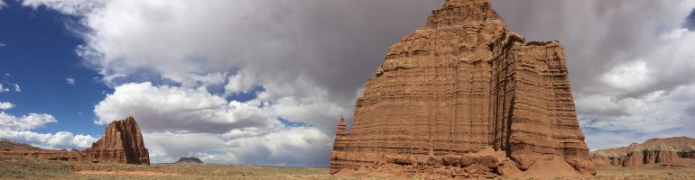
Uncompahgre Peak is the highest peak in the rugged San Juans at 14,309 feet. The broad summit is visible for miles and provides fantastic views of southwestern Colorado.
This week we drove to Lake City and headed up the Nellie Creek 4-wheel drive for the trailhead. The road consists of two stream crossings and climbs to the standard trailhead that has a number of dispersed camping sites.
Being a Sunday night we found an open site right at the trailhead and pitched camp. We called it a night early as a monster lighting and thunder storm rolled into the valley.
That evening a fast moving storm rocked the region with ear-splitting thunder cracking all around us. Fortunately we stayed warm and dry and were up bright and early to hit the trail.

Despite the stormy night, the morning was nice and sunny. We started down the trail that ascends through the high alpine forest before quickly breaking treeline less than a mile into the hike.
Before long the massive mountain comes into sight up the valley and a pleasant single track well worn path winds up the hill towards the peak.

While the wildflowers were nearly gone for the summer, there were still small waterfalls trickling down to Nellie Creek and sunflowers framing the scene.
After switch backing up a small hill, the trail forks and is well marked for the peak to the left. We headed on and slowly gained elevation as we approached the peak. The trail is gradual and then will cut sharp up a slope before leveling out. Soon you come face to face with the peak before jetting to the south cutting up a large slope to the saddle.

At this point there is another fork and it is evident you go right towards the massive summit. From the second fork the trail climbs straight up the broad shoulder as you start to gain some serious elevation getting magnificent views of the valley floor you are leaving behind.

At the peak of the shoulder the path levels out and shoots directly at the peak. To your left there are some sheer drops providing great views of the San Juans to the west of the peak including Wetterhorn.
Soon you come to the base of the remainder of the climb. From here the hike picks up intensity and increases to class two. The path will switchback up a steep section curving around to the west side of the mountain. From here it is a steep class two scramble with some serious drops to the base of the summit.

The rotten rock is pretty unstable, and the wet cloudy day made it even more precarious. We carefully made our way through the spires of rocks until a path emerged again. At this point it is a few hundred feet to the broad sloped summit.
As we hit the top a ray of sun slipped behind the clouds and the fog rolled in. The peak was soon encased in a cloud. We paused to sign the registry and enjoy a photo. We both approached the north edge of the summit that has a knife edge drop off of several hundred feet. It is an awe inspiring moment to see nothing but air below you as you peak over the edge.

As the clouds rolled in we headed down. The hike out in the valley was sunny, but the summit was engulfed by gray clouds the rest of the day.

